Placer County Wants Your Voice on Its First Parks and Trails Master Plan
Placer County is building its first-ever parks and trails master plan, and canyon users can shape it through a 15-minute survey at placerparksplan.com.
American River Canyon Alliance
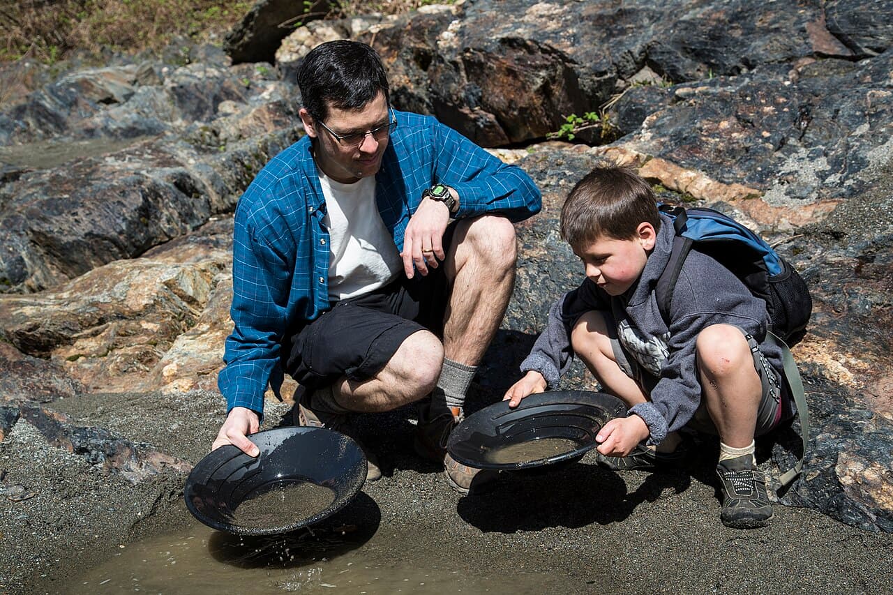
Placer County is writing its first-ever parks and trails master plan, and canyon users have a direct say in it. County recreation planners are asking residents to take a 15-minute online survey about the future of local parks, trails, open spaces, and beaches. The North Fork American River Alliance reports the survey is at placerparksplan.com, with responses open through May 15.
The feedback builds a 10-year vision for recreation across the county. "As we plan for the decade to come, we need input from everyone to ensure we are making the improvements that all of our residents want to see," said Placer County Parks Administrator Andy Fisher.
The plan has real momentum behind it. In October 2016 the Placer County Board of Supervisors approved a consultant agreement with Design Workshop Inc. to prepare it. The plan updates county standards set back in 1994 and folds in new demographics and trends. It is expected to take about a year, with workshops, focus groups, and public meetings along the way. The county will also coordinate with the Town of Truckee, California State Parks, the U.S. Forest Service, and neighboring cities to knit together a connected regional trail network.
If you use the North Fork canyons, this is where trail access and recreation priorities get decided. The survey is the fastest way in.
The Alliance also co-led a Green Valley hike with the Sierra Club, dropping from Moody Ridge near Alta to the North Fork across recently protected Wild and Scenic land, then climbing the Euchre Bar Trail to Iron Point.