Decision Makers Fly the American River Watershed, Headwaters to Folsom Lake
On June 3, 2026, the Sierra Nevada Alliance and partners flew elected officials, agency leaders, and water managers over the American River watershed to show water supply, wildfire risk, and public lands from the air.
American River Canyon Alliance
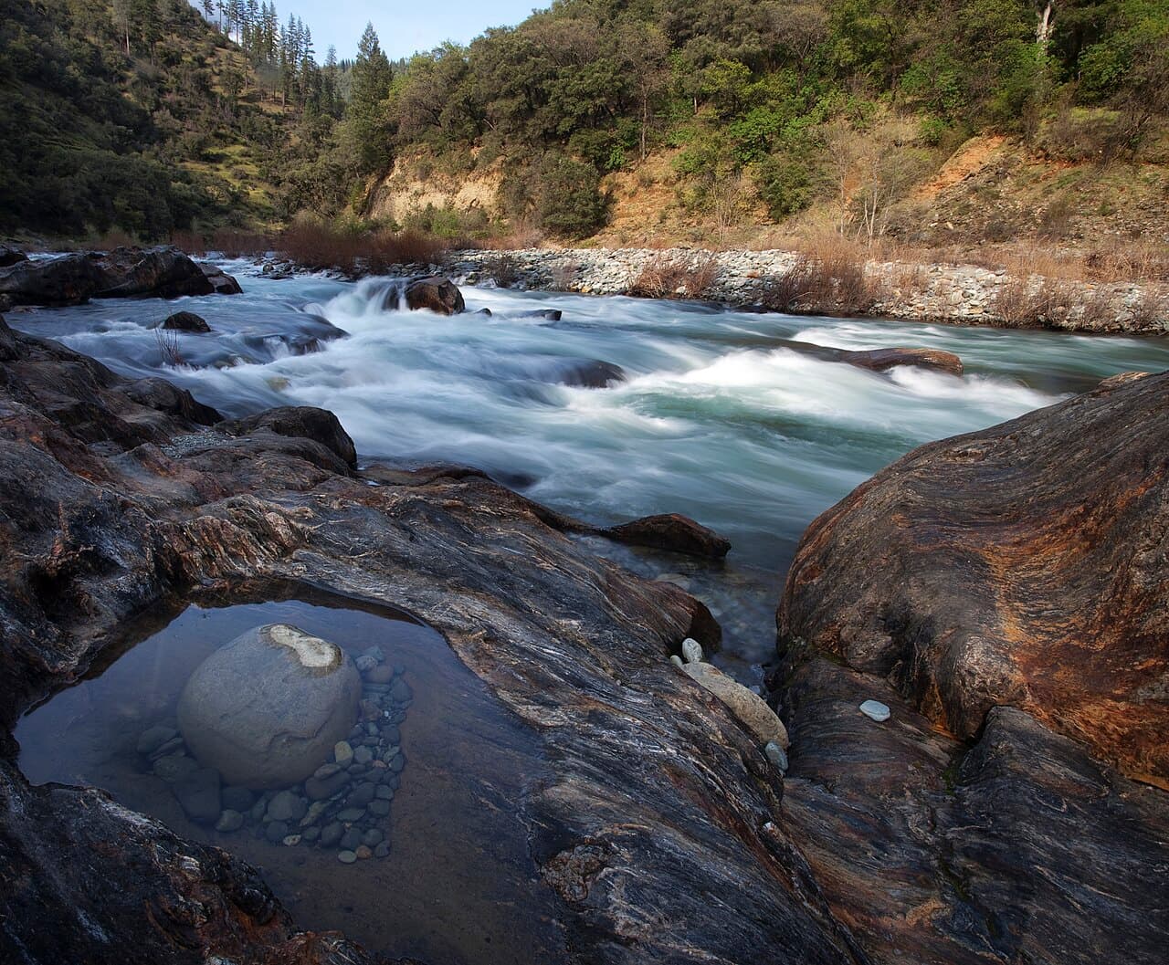
On June 3, 2026, the Sierra Nevada Alliance joined the American River Conservancy, Tuleyome, and EcoFlight to fly a series of aerial tours over the American River watershed. The flight path ran from the high Sierra Nevada down to Folsom Lake, tracing the watershed as one connected system.
The tours were aimed at the people who set policy for this landscape. Aboard were elected officials, agency leaders, water managers, and conservation partners. The goal was to give that group a shared view of the terrain their decisions affect.
From the air, participants saw four things up close. They saw the region's water supply, the reservoirs and the snowpack and streams that feed them. They saw wildfire risk across the forested high country. They saw the public lands that make up much of the upper watershed. And they saw the direct link between the Sierra headwaters and the reservoirs downstream, where conditions in the mountains shape water and fire risk for communities below.
EcoFlight provided the aircraft. The nonprofit runs similar flights across the West to give leaders a landscape-scale look at conservation issues.
The Sierra Nevada Alliance has not reported a specific policy decision or next step from the tours. The flights were a briefing tool, meant to build a common frame of reference before future water and land management debates.
You can read the Sierra Nevada Alliance account at sierranevadaalliance.org.